Text Brushes
Select a picture on the map
Where?
1. Mark the area on the photo that you want to change:
Please draw on the photo the area to be transformed
Another photo
Next
Transformation in progress
Your ideas
Thank you for using UrbanistAI.
Click on a picture to view it
Before
After
Your idea
Choose where you want to post it:
Image published on map
Original photo
Your idea
Share the idea with your network!
NEXT
What?
2. Choose what you want to add:
Select a new feature from the categories below:
New function
Pedestrian road
Urban park
Urban plaza
Public transit
Playground
Select the Starting Photo:
Select the Area:
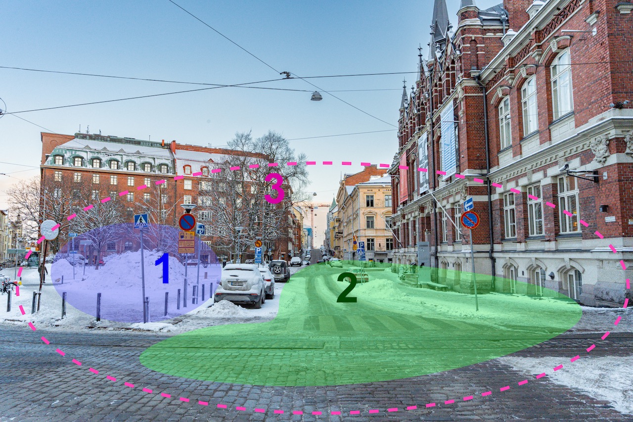
1
2
3
Select the Area:
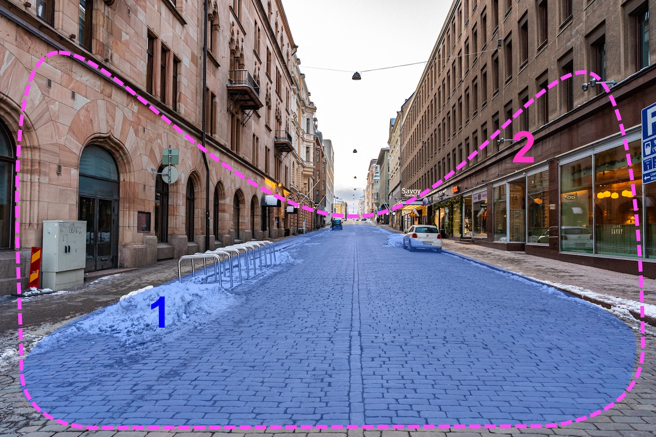
1
2
Address
Select the address:
Please select one of the available addresses to continue

Back
Next
Next
Use
GPS
GPS
Select
from map
from map
Back
Next
Your Gallery
Results
Sort by